
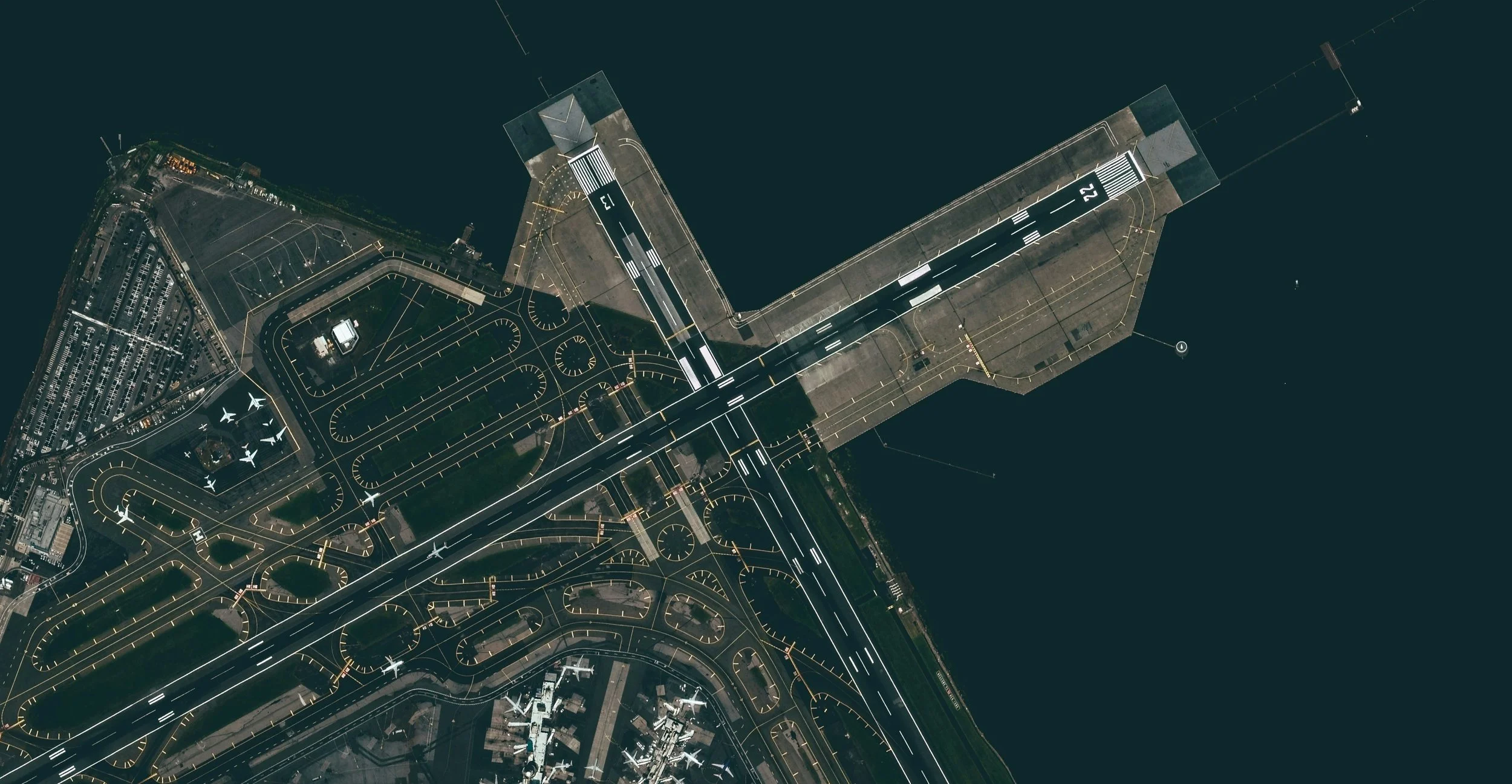
In today’s fast-paced construction, manufacturing, and surveying industries, precision and efficiency are more important than ever. One technology that has transformed the way businesses capture and analyze site data is aerial photogrammetry. For companies in Victoria, particularly those seeking aerial photogrammetry in Melbourne, this technology offers unparalleled accuracy and convenience.
Aerial photogrammetry involves using drones or aircraft to capture high-resolution images of a site, which are then processed to create detailed 2D maps, 3D models, and accurate measurements. Unlike traditional surveying methods, aerial photogrammetry allows for rapid data collection over large areas, reducing the time, cost, and manpower required. Businesses can get a complete overview of their site in a fraction of the time it would take using conventional methods.
One of the main advantages of aerial photogrammetry in Melbourne is its ability to provide precise, high-resolution data. For construction and manufacturing projects, accurate measurements are critical to ensure designs are implemented correctly. With aerial photogrammetry, teams can identify potential issues early, monitor progress, and make informed decisions based on reliable data. This reduces costly mistakes and improves project efficiency.
Safety is another key benefit. Traditional surveying methods often require personnel to access hard-to-reach or potentially hazardous areas. Aerial photogrammetry allows drones to capture detailed images from above, keeping teams safely on the ground while still obtaining all the necessary data. For industries like construction, mining, and civil engineering, this technology significantly reduces the risk of accidents.
Additionally, aerial photogrammetry in Melbourne supports better project planning and management. By providing a bird’s-eye view of a site, it’s easier to visualize workflows, plan material placement, and coordinate teams. Project managers can track progress over time, compare designs with actual site conditions, and generate accurate reports to share with stakeholders. This level of insight streamlines communication and ensures everyone involved is on the same page.
Environmental and land surveys also benefit from aerial photogrammetry. Mapping large areas for urban planning, forestry, or environmental monitoring can be completed quickly and accurately. High-resolution 3D models help professionals analyze terrain, monitor changes over time, and make data-driven decisions. This is why more businesses and government agencies are turning to aerial photogrammetry in Melbourne for reliable and cost-effective surveying solutions.
The versatility of aerial photogrammetry is another reason for its growing popularity. Whether you need detailed topographic maps, volumetric measurements for stockpiles, or 3D models for site planning, this technology delivers high-quality results. Companies can combine CAD drafting and drone mapping services to get a comprehensive view of their project from design to completion.
If you’re looking to harness the power of aerial photogrammetry in Melbourne, now is the perfect time to explore the benefits for your business. From increased accuracy and efficiency to improved safety and project management, aerial photogrammetry is revolutionizing the way projects are planned and executed.
Contact us today for an obligation-free quote and discover how our aerial photogrammetry services can help streamline your projects. Whether it’s for construction, manufacturing, or land surveying, we provide precise, reliable, and actionable data tailored to your needs. Don’t wait – experience the advantages of aerial photogrammetry in Melbourne and take your projects to the next level.
contact@melbournemfg.com