
Aerial Photogrammetry in Melbourne
Drone Mapping & Aerial Surveying – Precision Data for Your Projects
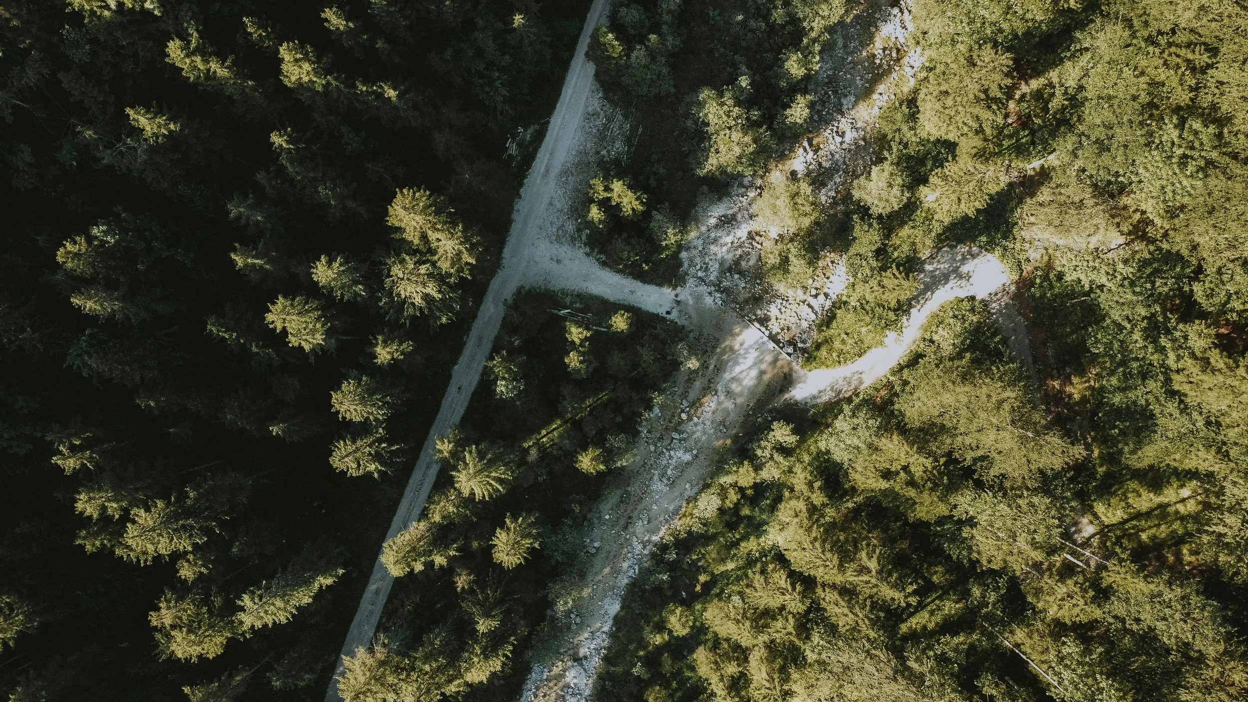
At Melbourne Manufacturing Engineering, we offer professional aerial photogrammetry in Melbourne to capture high-accuracy site data for construction, manufacturing, surveying, and land management projects. Using drones and advanced photogrammetry software, we create detailed 2D maps, 3D models, and measurements that provide valuable insights for planning, analysis, and decision-making.
Why Invest in Aerial Photogrammetry?
Accurate site data is critical for efficient project execution. Traditional surveying methods can be time-consuming, costly, and sometimes unsafe. Aerial photogrammetry in Melbourne allows businesses to quickly capture comprehensive data from above, helping you:
Obtain precise measurements and high-resolution imagery
Monitor project progress and site changes over time
Reduce risk by surveying hard-to-reach or hazardous areas
Support planning, design, and compliance with regulations
Improve collaboration with contractors, engineers, and stakeholders
By leveraging aerial photogrammetry, you can make informed decisions faster, avoid costly mistakes, and enhance productivity across your projects.
What’s Included in Our Service?
Our aerial photogrammetry in Melbourne service is tailored to meet the unique needs of your project. Typical services include:
High-resolution drone imagery capture
2D orthophotos and topographic maps
3D terrain and site models
Volumetric analysis for stockpiles or material management
Integration with CAD drawings and design software
Site measurement and mapping for construction, infrastructure, and environmental monitoring
We ensure that every project delivers accurate, actionable data you can trust.
Who We Work With
Our team works with businesses and organisations across Melbourne and Victoria, including:
Construction and civil engineering companies
Manufacturing and fabrication facilities
Surveying and land management teams
Infrastructure and urban planning projects
Mining and resource operations
Environmental and forestry monitoring
No matter the size or type of project, we provide precise, reliable, and cost-effective aerial mapping solutions.
Why Choose Melbourne Manufacturing Engineering?
At Melbourne Manufacturing Engineering, we combine technical expertise with practical experience. We understand the demands of modern projects and deliver aerial photogrammetry in Melbourne that’s accurate, efficient, and easy to use. Our process is collaborative, ensuring we capture exactly what your project needs.
We’re based in Melbourne and offer onsite drone surveys where required, with prompt delivery of your processed maps, 3D models, and reports. Our team is always available to make adjustments or provide additional insights based on your project requirements.
Get in Touch for a Quote
Ready to take your project to new heights? Contact us today for an obligation-free quote and find out how our aerial photogrammetry in Melbourne services can help streamline your planning, improve accuracy, and save time and resources.
Email contact@melbournemfg.com
To get started and see how aerial photogrammetry can transform the way you capture, analyse, and use site data.