
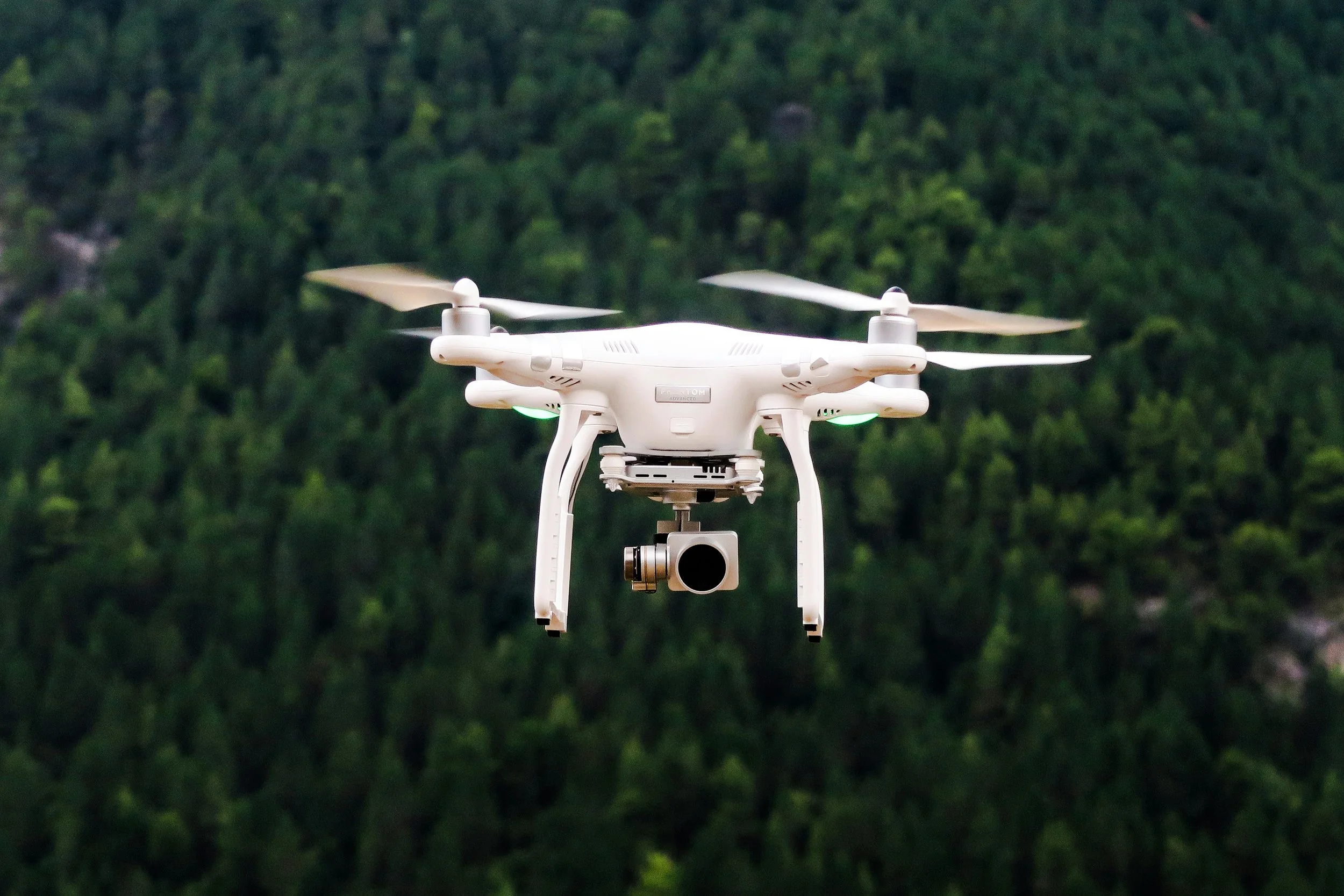
In recent years, drone technology has revolutionized the way we approach surveying, construction, and site management. One of the most powerful applications of this technology is drone mapping in Melbourne, offering an efficient, accurate, and cost-effective solution for businesses and property owners alike. By leveraging drones equipped with high-resolution cameras and photogrammetry software, we can capture detailed aerial imagery and transform it into precise 2D maps and 3D models of any site.
One of the primary benefits of drone mapping in Melbourne is its ability to provide highly accurate measurements without the need for traditional, labor-intensive surveying methods. Instead of sending multiple surveyors on-site, a drone can fly a pre-planned route, capturing hundreds of overlapping images in a fraction of the time. These images are then processed to create orthomosaic maps, point clouds, and 3D models that allow users to measure distances, areas, and volumes with pinpoint precision. This level of accuracy is especially valuable for construction projects, real estate developments, and infrastructure planning, where even small errors can lead to costly delays.
Another significant advantage of drone mapping in Melbourne is safety. Working at heights or on difficult terrain can be risky for surveyors and construction teams. Drones eliminate the need for people to access hazardous areas, reducing the risk of accidents while still providing comprehensive site data. For building inspections, roof assessments, or complex industrial sites, drone mapping offers a safe, non-invasive way to gather information that would otherwise be time-consuming and potentially dangerous to obtain.
Time efficiency is also a standout benefit. Traditional land surveys can take days or even weeks, depending on the site size and complexity. With drone mapping in Melbourne, large areas can be surveyed in just a few hours. Rapid data collection and processing mean that project managers, architects, and engineers can access actionable insights sooner, enabling quicker decision-making and keeping projects on schedule. This fast turnaround is particularly beneficial in dynamic industries where time is money.
Cost savings are another reason more Melbourne businesses are adopting drone mapping. By reducing the need for extensive manpower, specialized equipment, and multiple site visits, drones can significantly lower overall project costs. The combination of reduced labor, faster data collection, and improved accuracy translates into a more streamlined workflow and better resource management.
Our team specializes in providing professional drone mapping in Melbourne, offering tailored services to meet the needs of construction companies, property developers, surveyors, and more. We can map residential, commercial, or industrial sites with precision, delivering comprehensive reports, 3D models, and georeferenced maps that integrate seamlessly into your existing workflows. Whether you need a detailed topographical survey, a volumetric analysis, or regular site monitoring, our drone mapping services ensure you have the data you need to make informed decisions.
Choosing professional drone mapping in Melbourne gives you access to cutting-edge technology, enhanced safety, faster project timelines, and cost-effective solutions. Drones are not just a novelty—they are an essential tool for modern surveying and site management, empowering businesses to achieve more with less effort.
Contact us today for an obligation-free quote and see how our drone mapping services can transform your next project.
contact@melbournemfg.com